




Space Technologies
Over the years, Datel’s teams have developed more than 400 information systems, including the national land information system, Estonia’s 3D digital twin for e-construction, and planning and permitting systems. The company has extensive expertise in geoinformation systems, real-time data processing, and spatial data analysis and visualization.
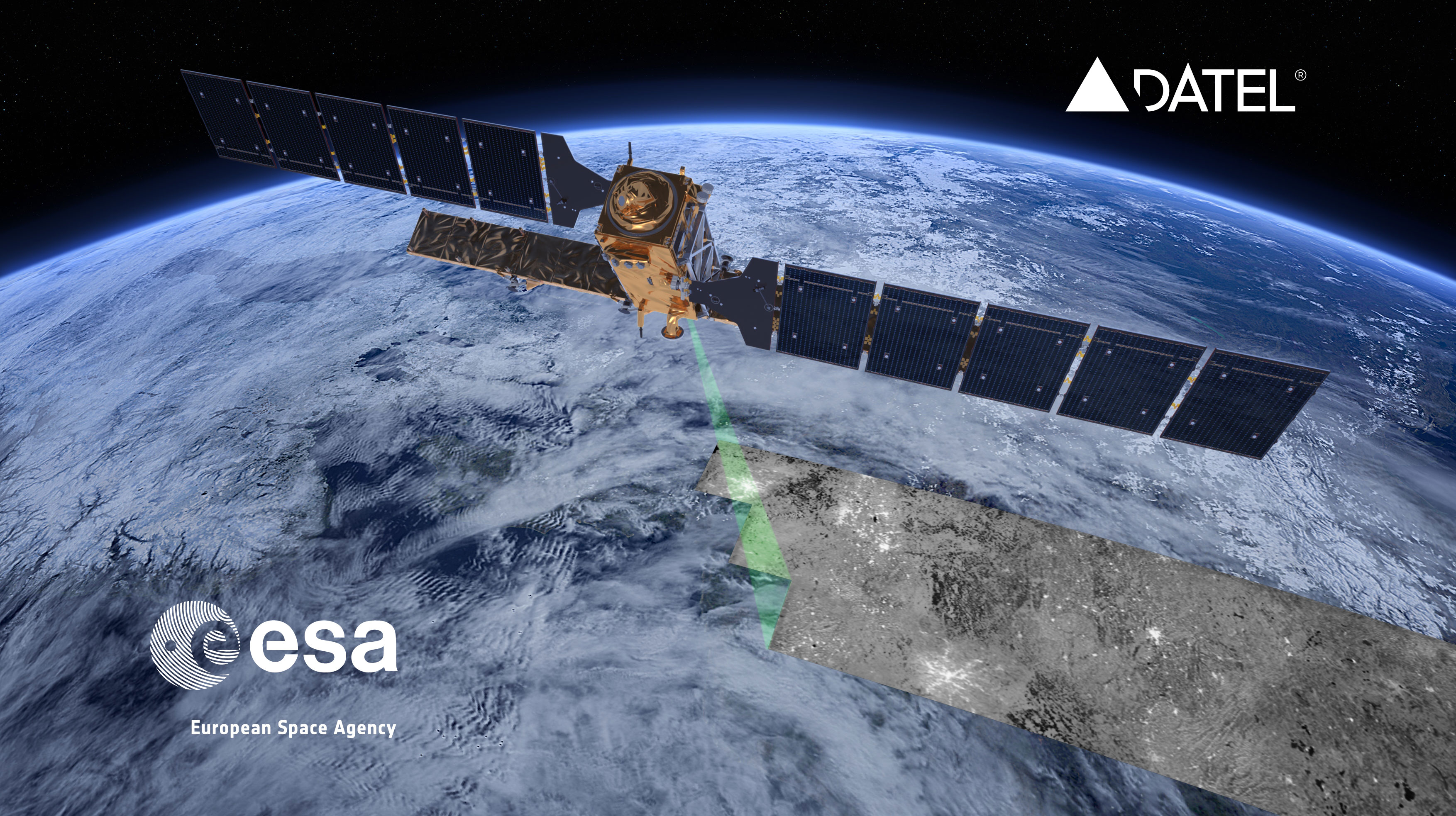
Since 2016, Datel has expanded into space-related technologies, developing Earth observation and GIS systems based on satellite data. Its expertise covers radar and optical satellite data processing, artificial intelligence, multi-source data integration, change and activity detection, and the development of map-based applications.
In addition to developing Earth observation and remote sensing services, Datel has participated in several projects with the European Space Agency (ESA). Datel engineers have contributed to the ESA Solar Orbiter mission and are developing digital elevation models based on data from radar satellites. Datel was also a consortium partner in the Earth Observation Baltic Platform project, the first large-scale space collaboration between the Baltic states.
Sille.Space.In 2018, in collaboration with the European Space Agency, Datel launched Sille.Space, an international early warning system for infrastructure monitoring. A year later, in 2019, Sille.Space won the Estonian Information Technology and Telecommunications Association (ITL) Private Sector Act of the Year award. Sille.Space allows users to monitor an entire country or city, or zoom in on a specific building or land area. It tracks shifts, sinking, and subsidence affecting infrastructure and facilities over large areas anywhere in the world. sille.space
Detection of Unauthorized Construction Activities- Catanova. Satellites capture images of construction activities every week. Datel’s space team software engineers analyze these images and compare them with building permit data from national cadastres, local government registers, and other relevant sources. This method provides a cost-effective solution for identifying unauthorized construction activities. We are currently operating actively in the Spanish market. catanova.es